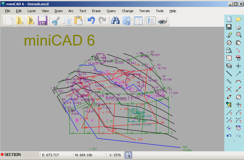
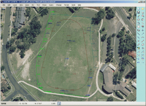
Mapsoft designs easy to use and affordable CAD software for surveyors and related professionals. Our products make your life easier in the office and the field. Our main products are:

  • miniCAD field software running on Palm PDA's and Pocket PC's (features)
  • miniCAD office software running on Windows PC's (features)

To learn more about miniCAD 5 download a fully featured version of the program or visit the miniCAD 5 features and resources pages.

NEWS: Maths in Surveying Day. Friday 25th May 2012

We are counting down the days to the Maths in Surveying Day. Please check back during the lead up to this event if the weather is inclement in case it needs to be postponed. Wet weather arrangements are to run the event exactly one week later.

Ian Iredale.


NEWS: Thursday 8th March 2012
From the field...

As a surveyor, I have used several of the leading name CAD and Cogo packages. They are often incredibly expensive, some of them you even need to buy such modules as terrain modelling and data collection seperately. I started using miniCAD several years ago, with Version 3. Initially what attracted me to it was its price, most surveying packages are at least four times the price. The fact that it is Australian made was also important, most packages originate from the US and are not tailored to our procedures. From the outset miniCAD was easy and intuitive. It was a simple process to download the collected data from my recorder, into miniCAD, edit codes, strings, orientations and elevations and export to the relevant CAD package. With each version of miniCAD I have noticed this procedure become even easier and even more functions be incorporated. Also the technical support that Mapsoft offer is second to none. Something the larger Survey Software companies could learn. I would highly recomend miniCAD to any surveyor, be they from an engineering or cadastral discipline.

Matt B. Surveyor, South Australia.


NEWS: Monday 23rd May 2011
Version 5.3

The latest refresh of V5.3 is available. We have further improved the Surface Model boundarys and the Cross and Long sections plots. When creating a surface the 'All Contourable points' option will now create a point selection automatically. Volume calculations have been further refined.

Please have a look and feel free to send your feedback and questions to stuart@mapsoft.com.au. Use the link below to view details of all amendments and new features.

miniCAD 5 New Features.


If you have any questions please do not hesitate to contact us.


NEW! Training Resources.

Image Link


Image Link


Image Link


Value Web Hosting

   Print Page    Top of Page    Home Page    Contact Us   


Clicky Web Analytics